FAO Enhances Animal Health Monitoring in Sierra Leone with Advanced GIS Training
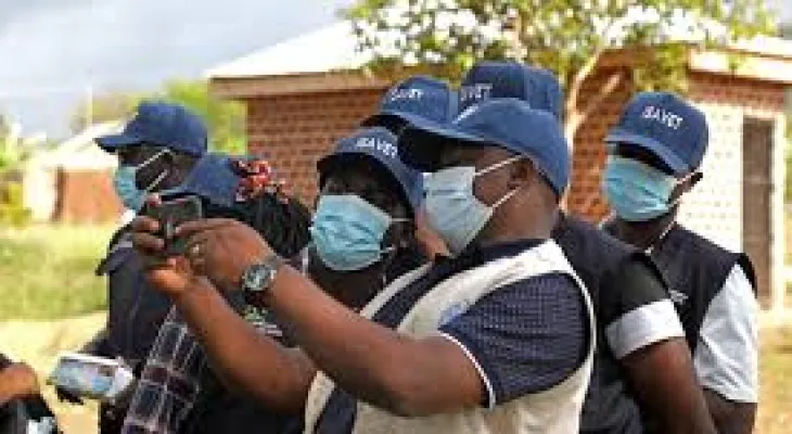
under the Global Health Security Program, the initiative aims to equip District Livestock Officers and Surveillance Focal Persons with essential skills in Geographic Information Systems (GIS).
Ousman J.D. Kamara, a District Surveillance Focal Point in Bombali District, pointed out the challenges that district personnel have faced in analyzing and visualizing surveillance data due to limited knowledge of geospatial technologies. Since 2019, Kamara's responsibilities primarily involved collecting data on priority animal diseases for the Ministry of Agriculture and Food Security (MAFS) without performing any analysis.
To address these gaps, FAO organized an intensive five-day GIS training from August 6-10, 2024. The program targeted key personnel from various sectors, including District Livestock Officers, Surveillance Focal Points, staff from the Central Veterinary Laboratory, and members of the Sierra Leone Agricultural Research Institute and the Ministry of Environment and Climate Change. Experts from the Livestock and Veterinary Services Division led the training, which included practical sessions using Sierra Leone-specific datasets for mapping, spatial analysis, and data visualization.
Saidu Bamayange, Director of Livestock and Veterinary Services, emphasized the significance of the training in strengthening the country's livestock sector and improving responses to zoonotic diseases and other major threats. He praised FAO and USAID for their support, noting that these new skills would enhance data analysis and presentation during weekly Emergency Preparedness and Resilient Response Group (EPRRG) meetings.
The GIS training is part of a broader FAO effort to strengthen Sierra Leone's animal health surveillance infrastructure. Since 2016, FAO has supported the development of Integrated Animal Disease Surveillance Systems (IADSR) and mobile applications for real-time


